
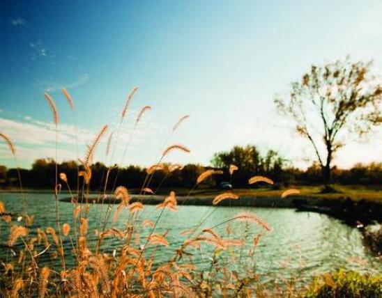

Note: While conservation facilities including Nature Centers and offices have been closed due to the Covid-19 virus, conservation areas, nature center trails, and boat accesses remain open to the public. Please consider all health and travel advisories before social distancing in nature. You can enjoy the beauty of Missouri's natural places in pictures and video in the Media Gallery below. And learn some fun facts about our two biggest rivers.
The name, Missouri, comes from a Native American tribe and means “town of the large canoes”. Our state’s history and nature can be explored by water or on land. Below is a highlight of some areas around the state that may be close to home during this time, or planned for a later date.
Near the gateway, St. Louis, guided tours paddle through the confluence of the two biggest rivers in the country, where Lewis and Clark made passage. You may want to plan for a group paddle later in the year and visit the point of confluence on a solo or social distancing trek. For now, you can watch the video below on the journey with an expert guide.
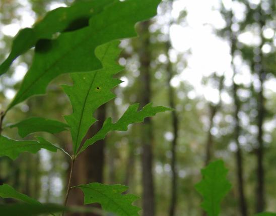
In the Southeast, near Saint Genevieve, the oldest community in the state, are natural areas with canyons and eagle watching along the Mississippi. Hickory Canyons and Pickle Springs Natural Area are rich in plant diversity and scenic beauty.
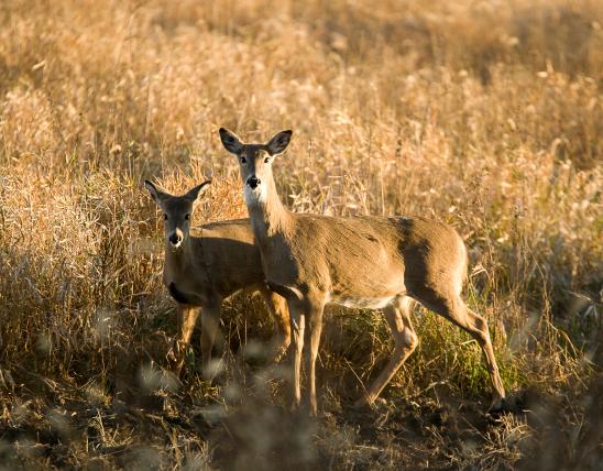
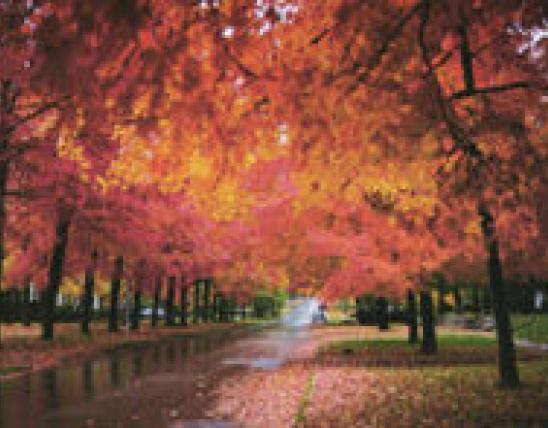
Bikers cross the middle of the state on the Katy Trail, an old railroad line. Off the Kansas City boulevard path, are miles of trails through woods and waterfalls. Maple Woods Conservation Area has trails through blazing colors in the fall.
Down Branson way, you can catch rainbow trout below the Shepherd of the Hills fish hatchery. You can explore glades once used by baldknobbers at the Ruth and Paul Henning Conservation Area. Fun fact: This land was donated by Paul Henning, creator of the Beverly Hillbillies, and his wife Ruth, whose family business in Eldon, Missouri, was the inspiration for the television show, Petticoat Junction.
For help exploring Missouri, download the Mo Outdoors app and check out some areas for future trips below.
The Big Rivers
Missouri boasts two major world-class, continent-draining rivers: the Missouri and the Mississippi.
The Missouri River
- The Missouri River forms the northern part of our state’s western border, then crosses west-to-east through the center of the state to join the Mississippi at St. Louis.
- Between its headwaters in Montana and its confluence with the Mississippi at St. Louis, it is 2,341 miles long — the longest river on the continent.
- It drains more than 500,000 square miles, including all or parts of 10 states and 2 provinces about one-sixth of the United States.
- The Missouri was nicknamed the Big Muddy before there were channels, dams, and reservoirs, back when it carried huge amounts of sediment hundreds of millions of tons per year. Today, the amount is “only” 20 to 25 million tons, as the river is not allowed to change its course and because dams arrest its flow, making silt fall to the bottom of reservoirs.
- Today it’s still muddy-looking, and the Missouri River contributes more than half the silt that arrives in the Gulf of Mexico, forming the Mississippi Delta, so the Big Muddy nickname is still apt.
The Mississippi River
- The Mississippi River forms the eastern border of our state.
- It is 2,320 miles long, the fourth longest river in the world.
- Counting its many tributaries, including the Missouri River, it drains all or parts of 31 states and 2 provinces, between the Rockies and the Appalachians, more than 1,245,000 square miles.
- From its upper reaches in Minnesota to St. Louis, the Upper Mississippi is controlled by locks and dams, channels, and wing dikes. The Upper Mississippi is essentially a series of human-made lakes convenient for river transportation, hydroelectric power, and recreation.
- South of St. Louis, where the Missouri joins it, the Mississippi widens and flows more freely. The section between the confluences of the Missouri and the Ohio rivers is called the Middle Mississippi.
- The portion of the Mississippi that flows south of the confluence with the Ohio at Cairo, Illinois, and Birds Point, Missouri is the Lower Mississippi. A thousand miles downstream from this point, the mighty river meets the Gulf of Mexico.
Learn more about the Mississippi and Missouri rivers in MDC’s Field Guide.


Recent Posts


