


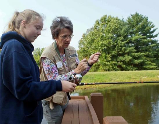


What happens when the batteries conk out on your GPS? If you know how to use a map and compass, you have nothing to worry about.
A Quick Tour of a Topo
Most maps are drawn so that north is at the top of the page.
Topographic maps, or “topos,” are the best maps for finding your way in wild places. Learning what the symbols, colors, and squiggly lines mean is the first step in using a topo. To download a free map of the area you plan to explore, visit store.usgs.gov.
- Skinny blue lines represent small streams.
- Wide blue lines represent large rivers.
- Blue circular shapes represent ponds and lakes. orienting a map Once you’re familiar with the map’s symbols, you need to turn your topo so that north on the map points to north in the real world. Then you can match landmarks on the map to real ones on the landscape.
- Squiggly brown lines, called contour lines, show the shape of the Earth’s surface. The closer the lines are to each other, the steeper the terrain. Contour lines show 3D terrain on a flat piece of paper. Contour lines that look like this would represent this on the landscape.
- White or tan shading represents sparse vegetation.
- Green shading represents thick vegetation such as forests.
- Black or gray lines show minor roads.
- Red lines show major roads or highways.
- The scale shows the relationship between a measurement on the map and the actual distance on the ground. Place your compass on the map so that the long edge of the baseplate lines up with the east or west edge of the map. Make sure the direction-of-travel arrow points to the top of the map (the north side).
Hold the map flat or place it on the ground.
Twist the rotating dial of your compass so that “0” or “N” lines up with the bottom of the direction-of-travel arrow. The orienteering arrow should now be pointing in the same direction as the direction of travel arrow.
Turn the map and compass together until the red end of the magnetic needle is between the sides of the orienteering arrow. This is called “boxing the needle” or “putting red in the shed.” North on the map now points to magnetic north in the real world. Features on the map should closely match those
And More...
This Issue's Staff
Les Fortenberry
Karen Hudson
Regina Knauer
Angie Daly Morfeld
Noppadol Paothong
Marci Porter
Mark Raithel
Laura Scheuler
Matt Seek
David Stonner
Nichole LeClair Terrill
Stephanie Thurber
Cliff White